

Oxfordshire Walks

Fingest Walks & Route Maps

Fingest walk, Oxfordshire
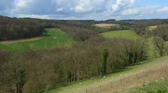
Fingest · Photo: Andrew Smith

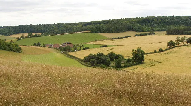
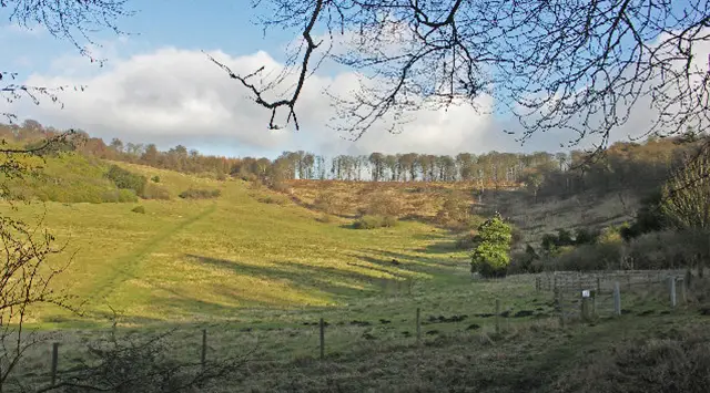
These walks take you just over the Oxfordshire border into Buckinghamshire to explore the stunning Hambleden Valley from the picturesque village of Fingest.

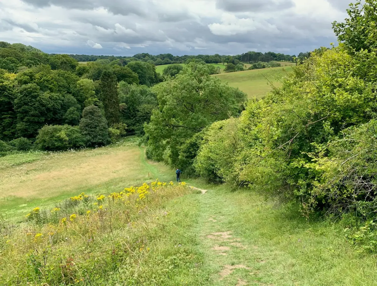
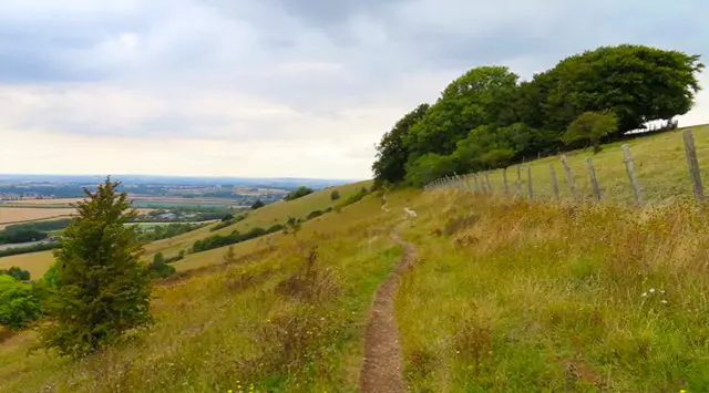
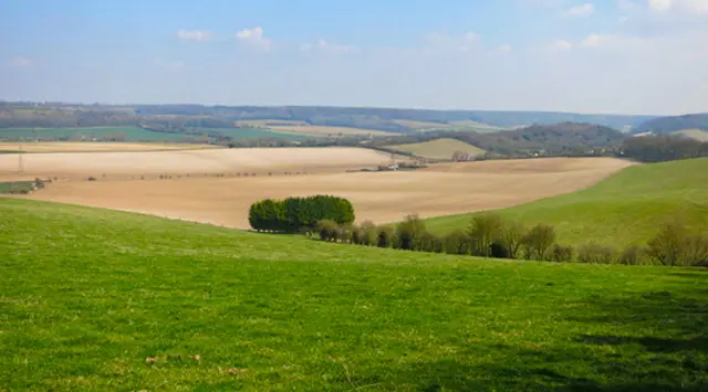
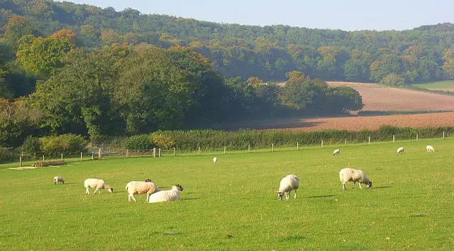
Expect beautiful rolling countryside, peaceful woodland, and charming villages along the way, with the option to climb up to a windmill for sweeping valley views.

Whether you choose the gentler route or the more challenging extended version with its steep hills, these walks offer a truly rewarding day out, perfectly rounded off with a visit to the welcoming pub.

Download the Oxfordshire Walks App to follow these routes with real-time GPS navigation.

Download on the App Store Get it on Google Play

Walk information

Fingest Walk 1

Walk distance
4 miles
Time
2 hours
Route type
Circular

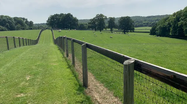
Another short drive over the border into Buckinghamshire here, but the journey is completely worth it to enjoy this stunning walk in the delightful Hambleden valley. Park on the roadside in the pretty village of Fingest, or in the wonderful Chequers pub if you're booked in for lunch after your walk.

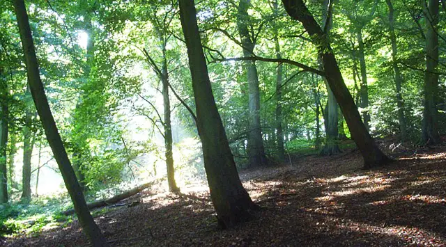
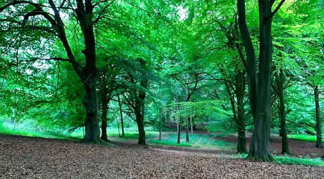
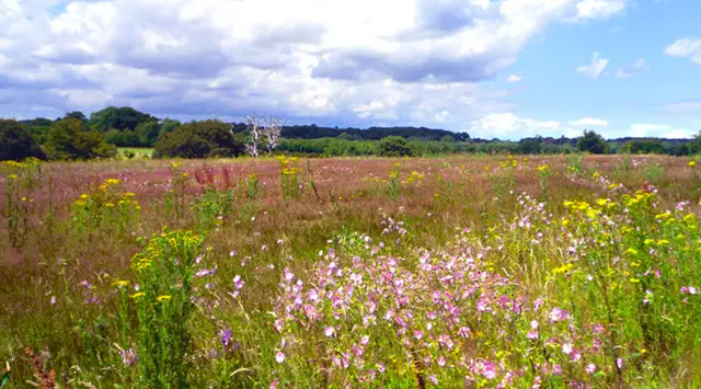
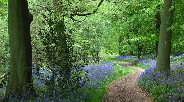
Then, simply enjoy this world class walk around beautiful undulating countryside dotted with dramatic woodland and incredibly pretty villages. If you have the energy, there's an optional trek up the hill to the windmill to get some breathtaking views of the valley.

Fingest Walk 1 4.6 Ratings and reviews 5 ratings · 3 reviews

Based on 5 user ratings

Community feedback

Overall rating4.6

An outstanding walk

Dog friendly3.4 / 5
Path condition4.0 / 5
Buggy friendly1.4 / 5
Wheelchair friendly1.0 / 5
Toilet facilities0.8 / 5
Pub or café1.8 / 5
Route accuracy4.8 / 5
ClimbingSome climbing
LivestockRarely any livestock
StilesA stile or two
Mud levelMay be muddy after wet weather

Real feedback from people who have completed this walk using the Oxfordshire Walks app.

First-hand experiences

User reviews

Walker review

Great walk with some lovely views. Parking could be tricky on busy days in village.

Walker review

Some beautiful views and a few hills.

Walker review

We loved this walk! Beautiful countryside and a nice balance of fields and woods to enjoy. It was our first time using the app and it was so relaxing always knowing where we were and not having to decifer written instructions.

Walk information

Fingest Walk 2

Walk distance
5¾ miles
Time
3 hours
Route type
Circular

This extended version of the Fingest walk is a truly beautiful adventure, but be warned the hills are pretty huge and plentiful. This means that you will need a lot of energy before you embark on this route, and make sure you take all the refreshments you need.

Of course you will be rewarded for this hard work with more stunning views of this fantastic part of the English countryside, and you can then truly enjoy a reward at the gorgeous Chequers pub when you have finished the walk.

Fingest Walk 2 4.0 Ratings and reviews 1 rating · 1 review

Based on 1 user rating

Community feedback

Overall rating4.0

A very popular walk

Dog friendly4.0 / 5
Path condition4.0 / 5
Buggy friendly2.0 / 5
Wheelchair friendly1.0 / 5
Toilet facilities3.0 / 5
Pub or café4.0 / 5
Route accuracy5.0 / 5
ClimbingPlenty of climbing
LivestockSome livestock
StilesNo stiles
Mud levelBoots recommended

Real feedback from people who have completed this walk using the Oxfordshire Walks app.

First-hand experiences

User reviews

Walker review

Lovely walk, great views and nice pub

Navigate the walks

Oxfordshire Walks App

Follow the Fingest walks with GPS guidance

It's like sat-nav, but for footpaths.

Choose a walk and follow the pointer showing your live position on the route map, so you always know you're on the right path.

The app works without a phone signal, so you can keep following the route wherever the walk takes you.

Download the app

Download on the App Store Get it on Google Play
Oxfordshire Walks app showing the walker's live position on a route map

Designed to be simple

  • Choose a walk and follow the pointer
  • See your live position on the route map
  • Works without a phone signal
  • Includes 250+ Oxfordshire walks
  • Free one-month trial
  • Available for iPhone and Android

Explore the area

Nearby walks

Explore the county

Oxfordshire walks map

Map data © OpenStreetMap contributors

Search Oxfordshire walks

See where the walks start, explore the area and tap a pin to find a route for your next adventure.

Search Oxfordshire walks
Expanded route map for Fingest Walk 1, a 4 mile circular walk in Oxfordshire