

Oxfordshire Walks

Beacon's Bottom Walks & Route Maps

Beacon's Bottom walk, Oxfordshire
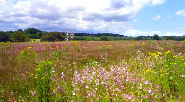
Beacon's Bottom · Photo: Andrew Smith

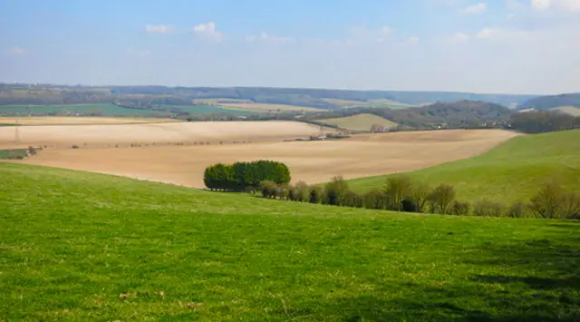
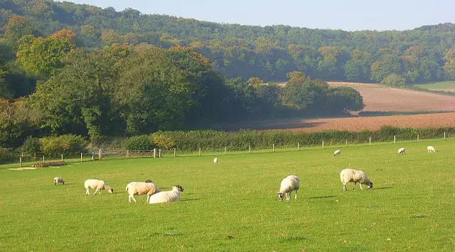
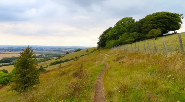
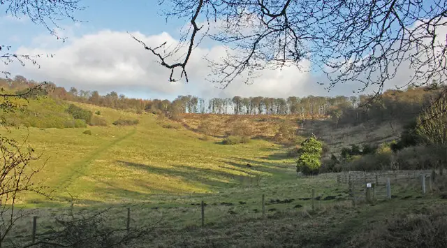
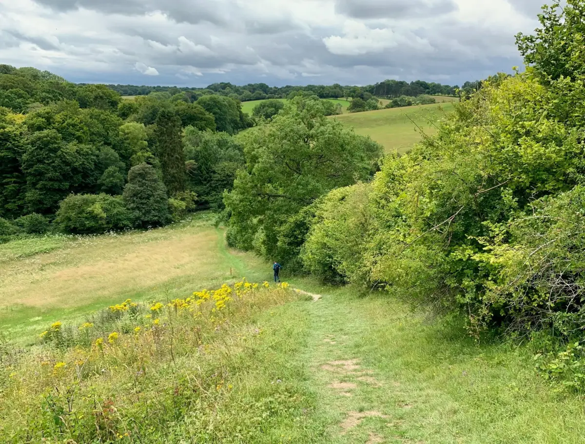
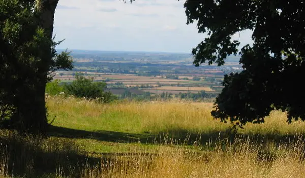
Discover these walks around Beacon’s Bottom in Oxfordshire, offering a wonderful mix of rolling hills, open countryside, and peaceful woodland to explore.

Whether you choose a shorter route through Bottom Wood or a longer countryside walk stretching towards Piddington, these walks provide scenic views and even a welcoming pub stop along the way.

Download the Oxfordshire Walks App to follow these routes with real-time GPS navigation.

Download on the App Store Get it on Google Play

Walk information

Beacon's Bottom Walk 1

Walk distance
2¼ miles
Time
1 hour
Route type
Circular

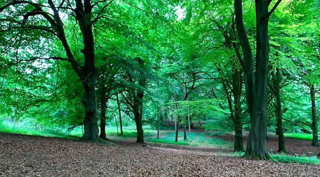
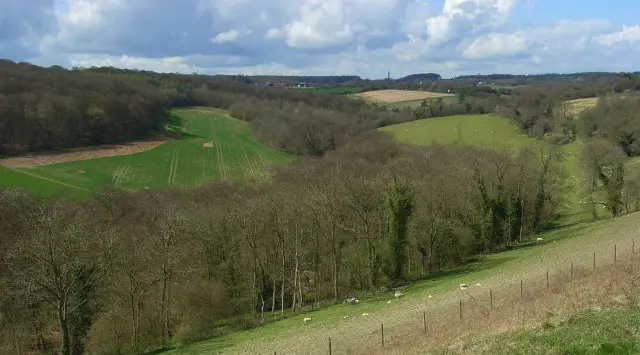
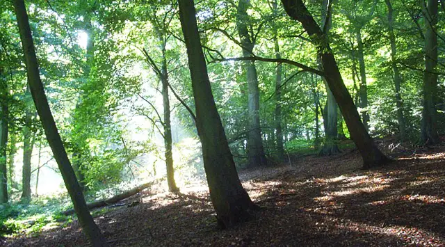
This first route is a lovely walk around the hills and woodland of Bottom Wood and Thirds Wood that you'll find near the village of Studley Green, just over the county border into Buckinghamshire.

Beacon's Bottom Walk 1 No ratings yet Be the first - rate this walk in the Oxfordshire Walks App

Walk information

Beacon's Bottom Walk 2

Walk distance
4 miles
Time
2 hours
Route type
Circular

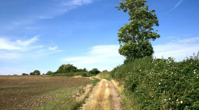
This second route is a longer walk in the countryside that you'll find between the villages of Beacon's Bottom and Piddington.

You can expect some more moderate hills, lots of open countryside, some pretty woodland and a pub for refreshments half way around the route.

Beacon's Bottom Walk 2 4.0 Ratings and reviews 4 ratings · 4 reviews

Based on 4 user ratings

Community feedback

Overall rating4.0

A very popular walk

Dog friendly4.0 / 5
Path condition3.5 / 5
Buggy friendly2.0 / 5
Wheelchair friendly1.8 / 5
Toilet facilities2.3 / 5
Pub or café1.5 / 5
Route accuracy4.8 / 5
ClimbingGentle slopes
LivestockSome livestock
StilesA stile or two
Mud levelBoots recommended

Real feedback from people who have completed this walk using the Oxfordshire Walks app.

First-hand experiences

User reviews

Walker review

Pretty muddy in the northern half. Nice little walk

Walker review

First time I had used the app and found it really easy to follow, albeit a few written instructions at the beginning and end would be helpful. Only uphill section was at very end, but that probably depends which way round you follow the route!

Walker review

Pub half way has outside bar and very friendly staff

Walker review

Lovely walk through woods snd open countryside. Can be very muddy when wet. Two crossings of busy road.

Navigate the walks

Oxfordshire Walks App

Follow the Beacon's Bottom walks with GPS guidance

It's like sat-nav, but for footpaths.

Choose a walk and follow the pointer showing your live position on the route map, so you always know you're on the right path.

The app works without a phone signal, so you can keep following the route wherever the walk takes you.

Download the app

Download on the App Store Get it on Google Play
Oxfordshire Walks app showing the walker's live position on a route map

Designed to be simple

  • Choose a walk and follow the pointer
  • See your live position on the route map
  • Works without a phone signal
  • Includes 250+ Oxfordshire walks
  • Free one-month trial
  • Available for iPhone and Android

Explore the area

Nearby walks

Explore the county

Oxfordshire walks map

Map data © OpenStreetMap contributors

Search Oxfordshire walks

See where the walks start, explore the area and tap a pin to find a route for your next adventure.

Search Oxfordshire walks
Expanded route map for Beacon's Bottom Walk 1, a 2.25 mile circular walk in Oxfordshire