
At a glance
Filkins Walk
- Distance
- 5.5 miles
- Estimated time
- 3 hours
- Route type
- Circular
- GPS app guided
- Yes
- Parking
- Roadside in village 51.73441, -1.66005
- Characteristics
- Countryside
Oxfordshire Walks
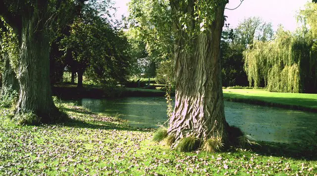
This walk explores the charming Cotswold village of Filkins and wanders gently through pretty countryside to nearby Broadwell and Langford.
A relaxed and rewarding outing, with a welcoming village pub waiting for you at the finish.
Download the Oxfordshire Walks App to follow this route with real-time GPS navigation.


At a glance
The walk
This is a lovely walk in the delightful Cotswold countryside.
The walk starts in the Cotswold stone village of Filkins and takes you on a casual adventure around some pretty countryside visiting the villages of Broadwell and Langford on the way.
There is also a fantastic pub waiting for you when you return to the village of Filkins.
Refreshments:
The Five Alls, Filkins
Based on 7 user ratings
A well-liked walk
Fine with dogs
Reasonable paths
Hard going with a buggy
Not wheelchair accessible
Very limited facilities
Not much on route
Mostly accurate
Real feedback from people who have completed this walk using the Oxfordshire Walks app.
First-hand experiences
One part of the rout, the gate into the field had been closed in a way you ciuld get through. Farmer obviously trying to prevent people entering fueld
Walk was pretty straightforward spart from a slightly confusing bit at the end( we walked it anticlockwise) had to ask a local where the footpath was, and also went slightly off piste on a couple of other occasions. 3 nice villages to nosey at en route.
Beautiful houses on route but the walk was a little boring, a small part of the route was not visible so have to rely on the GPS, a lot of road walking
Lots of walking through pasture and along farmers tracks. Two pubs on route, but the Langford one has odd hours so check ahead. I’m sure this walk would be nicer in summer, but quite samey in spring. Some horrible stiles.
Comments from walkers who have completed the Filkins walk.
Navigate the walks
The easiest way to follow this route is with the Oxfordshire Walks app. Choose the walk and follow the pointer showing your live position on the route map, so you can see you're on the right path.
The app works without a phone signal, so you can keep following the route wherever the walk takes you.

Explore the area
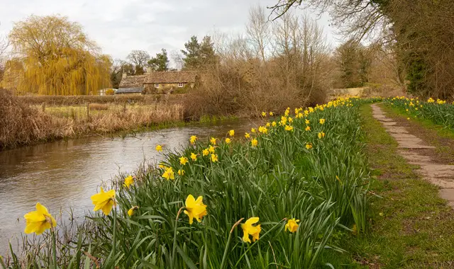 2.5-7.25 miles
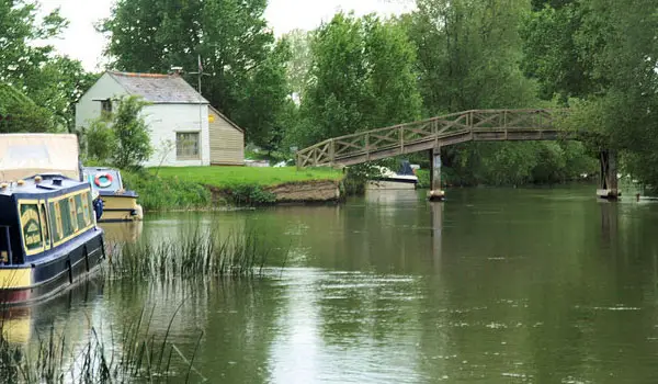 1.25 miles
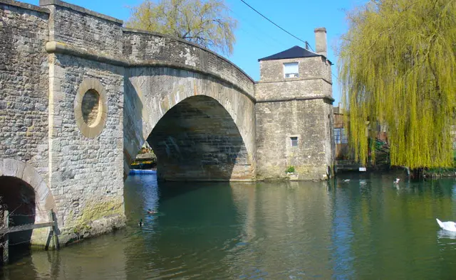 1.75-3 miles
 3.25-4.25 miles
 2.25 miles
 6 miles
 4.25 miles
 3-4.5 miles
 1.75-10.5 miles
 2.5-7 miles
 3.25-4.25 miles
 3.75 miles
 3.5 miles
 6 miles
 2.5 miles
Explore the county
See where the walks start, explore the area and tap a pin to find a route for your next adventure.
Search Oxfordshire walks