

Essex Walks

Coalhouse Fort Walks & Route Maps

Coalhouse Fort walk, Essex
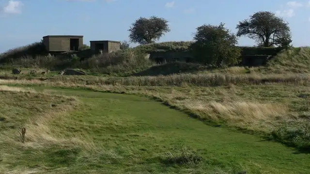
Coalhouse Fort · Photo: David Anstiss

These walks around Coalhouse Fort explore a stretch of the south bank of the Thames where military history meets open riverside scenery, with the fort itself forming the focal point of both routes.

The walks pass through Coalhouse Fort Park and along the river, with the longer option extending further onto the Thames shoreline via the King Charles III Coast Path, taking in East Tilbury Marshes and Coalhouse Point for wide estuary views, and both routes offering a short detour to The Ship in Tilbury for refreshments.

Download the Essex Walks App to follow these routes with real-time GPS navigation.

Download on the App Store Get it on Google Play

Walk information

Coalhouse Fort Walk 1

Walk distance
¾ miles
Time
30 mins
Route type
Circular

This short walk explores the area around Coalhouse Fort Park, a mid-19th-century military site on the south bank of the Thames.

Its brickwork and artillery positions remain, offering a tangible sense of the fort’s historic role in defending the estuary and London.

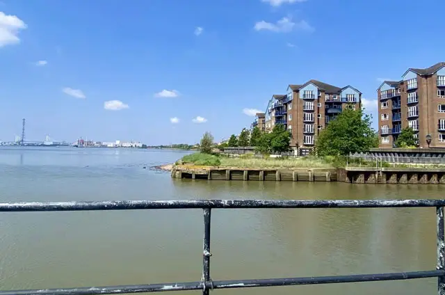
The route follows a quiet stretch along the riverside, providing open views of the Thames and the surrounding landscape shaped by both tides and centuries of human activity.

There is also a short detour to a local pub if you want refreshments as part of your walk.

Coalhouse Fort Walk 1 No ratings yet Be the first - rate this walk in the Essex Walks App

Walk information

Coalhouse Fort Walk 2

Walk distance
3½ miles
Time
1.5 hours
Route type
Circular

If you have more time for your visit to Coalhouse Fort, then this longer walk traces more of the Thames shoreline around the area, combining history, riverside views, and marshland scenery.

The fort itself offers a glimpse into Victorian-era coastal defense, with brickwork and artillery positions that tell of its 19th-century role guarding the estuary.

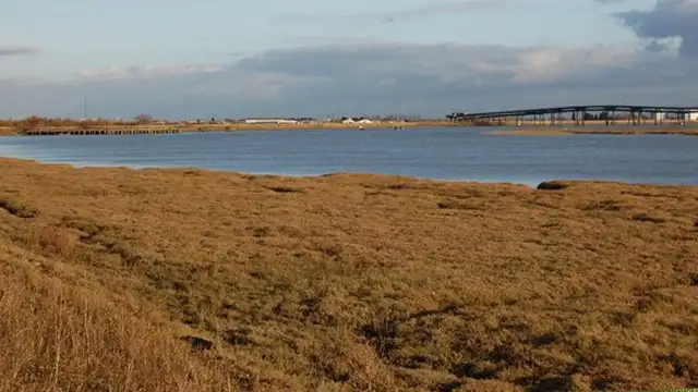
You'll then enjoy The King Charles III Coast Path, East Tilbury Marshes and the Coalhouse Point providing wide, open vistas of the tidal mudflats as you go.

As with the first route, there is a short detour to a local pub that offers a relaxed stop after a walk that blends riverside history with the quiet, shifting landscapes of the Thames estuary.

Refreshments:

The Ship, Tilbury

Coalhouse Fort Walk 2 No ratings yet Be the first - rate this walk in the Essex Walks App

Navigate the walks

Essex Walks App

Follow the Coalhouse Fort walks with GPS guidance

It's like sat-nav, but for footpaths.

Choose a walk and follow the pointer showing your live position on the route map, so you always know you're on the right path.

The app works without a phone signal, so you can keep following the route wherever the walk takes you.

Download the app

Download on the App Store Get it on Google Play
Essex Walks app showing the walker's live position on a route map

Designed to be simple

  • Choose a walk and follow the pointer
  • See your live position on the route map
  • Works without a phone signal
  • Includes 250+ Essex walks
  • Free one-month trial
  • Available for iPhone and Android

Explore the area

Nearby walks

Explore the county

Essex walks map

Map data © OpenStreetMap contributors

Search Essex walks

See where the walks start, explore the area and tap a pin to find a route for your next adventure.

Search Essex walks
Expanded route map for Coalhouse Fort Walk 1, a 0.75 mile circular walk in Essex