

Bath Skyline walk 01
Bath Skyline Walk
- Walk distance
- 6 miles
- Time
- 3 hours
- Route type
- Circular
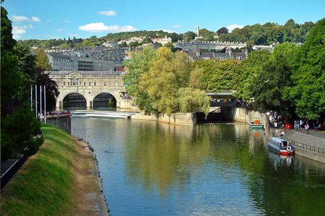
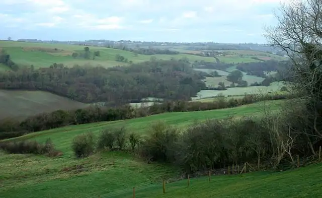
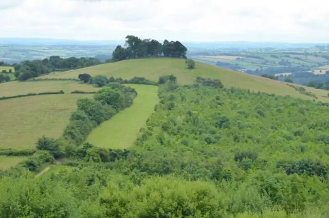
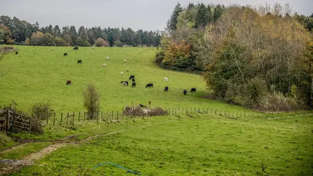
If you're looking for a scenic escape that blends countryside charm with historic city views, the Bath Skyline Walk is just the ticket. Wrapping around the edge of this iconic Georgian city, the walk offers a peaceful 6-mile (approx.) loop through hills, woodlands, and meadows - all while keeping Bath’s elegant city in sight.
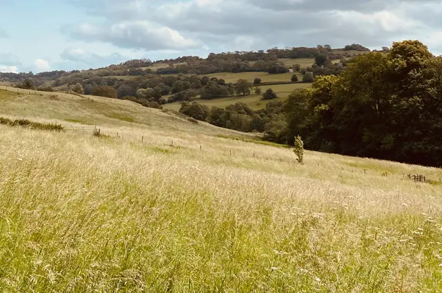
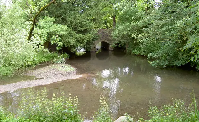
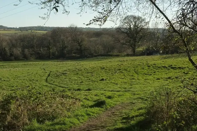
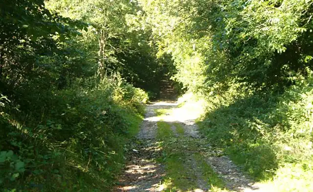
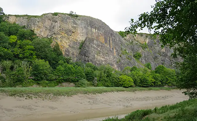
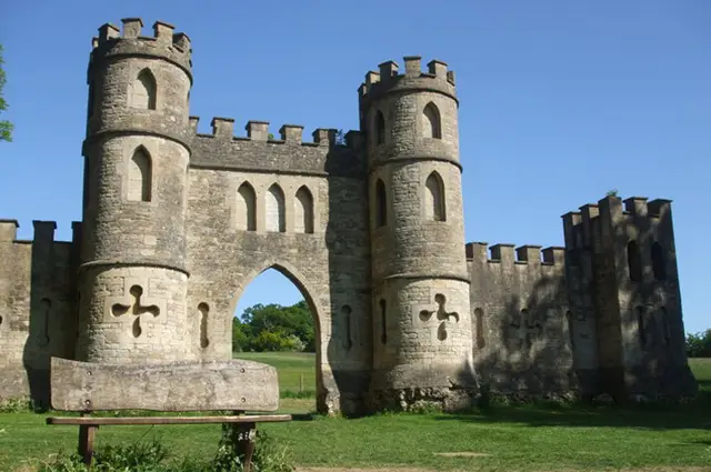
Starting near Bath city centre, the route takes you gradually up into the hills near the University of Bath. Along the way, you’ll stroll through beautiful woodland trails, cross open fields bursting with wildflowers in spring and summer, and encounter the wonderful Sham Castle - a quirky 18th-century folly that frames the perfect photo opportunity with Bath City in the background.
One of the real highlights of the Bath Skyline Walk is, of course, the view. At various points along the route, you’ll find sweeping panoramas that showcase the city’s honey-coloured stone buildings nestled in the valley below - a reminder of just how unique this city really is.
While there are no cafés or pubs directly on the trail, the beauty of this walk is its proximity to the city. You’re never far from a cosy spot for a post-walk coffee or bite to eat, making it easy to end your stroll with a relaxing reward.
Just keep in mind that the route includes a mix of natural paths, roads, and urban sections - so be cautious, especially when crossing or walking alongside roads. Good footwear is advised, especially after wet weather.
Whether you’re a local looking for a fresh perspective on your city or a visitor keen to combine nature with heritage, the Bath Skyline Walk offers a refreshing, rewarding day out.
If you would like to discover more of Bath City, take a look at our other Bath walks .